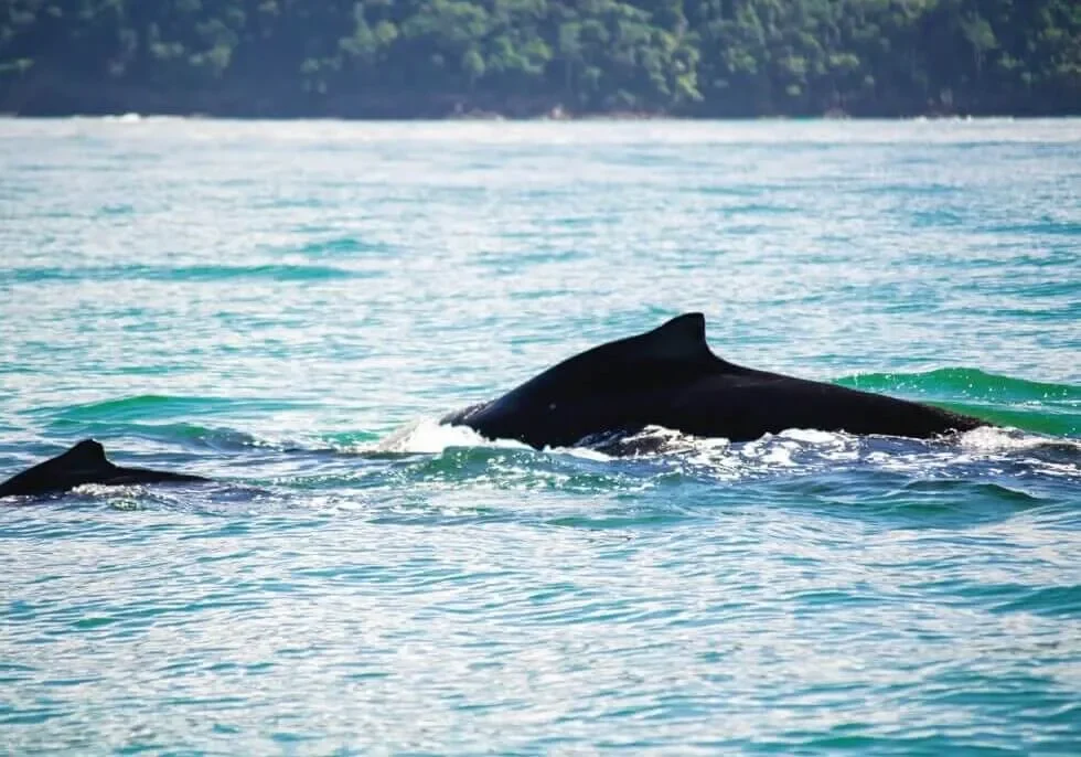
Marino Ballena National Park
Marino Ballena National Park (also known as "Whale Marine National Park"), is located on the Southern Pacific side of Costa Rica, at the footsteps of Bahia Ballena - Uvita. This park was established in 1989, and its area of protection is primarily within the ocean. While having only 110 land hectares, it also has 5,385 ocean hectares, and it forms 1% of Costa Rica's marine protected areas. Marino Ballena National Park is in the province of Puntarenas, though is officially part of the Area of Conservation for the Osa Peninsula. The purpose of such a park is to protect the plants, animals, and the ecosystems in which they both live to ensure that they flourish.
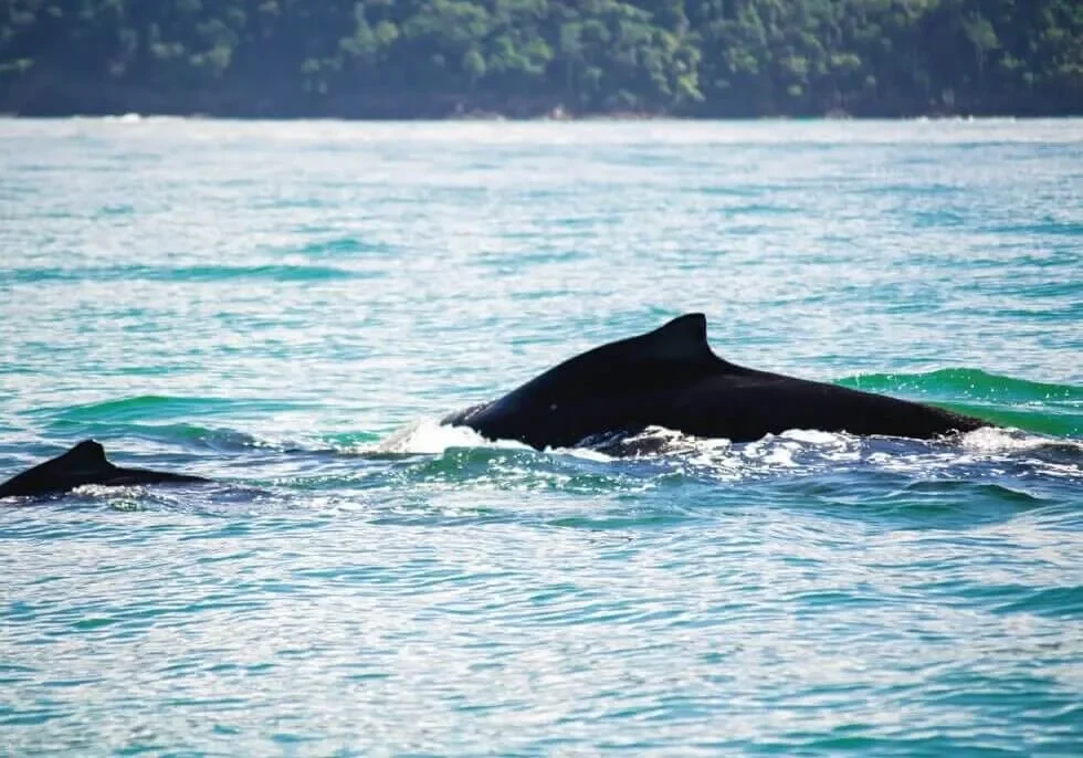
There are two reasons why the park is called Marino Ballena National Park. First of all, the area is both a breeding and feeding ground for a variety of different whales. The most common visitors to the park are the humpback whales from both the northern and southern hemispheres who migrate to the warm waters of the area to give birth. One group visits between the months of July and October, and the other between December and March, giving the area a solid 6-7 months of whale-watching season. There has been a strong Costa Rican initiative to protect these waters to ensure the safety and successful reproduction of these animals. The second reason for the park's name is because of the shape of Punta Uvita - commonly known as the "whale's tail" - a sandbar that extends 1km into the Pacific Ocean.
Marino Ballena National Park is located in a gorgeous and still relatively-untouched part of Costa Rica, so its visitors can expect to have a very relaxing and unrefined Costa Rican experience. Here's a small taste of what you will find in this park: long stretches of beautiful beach, rocky shorelines and cliffs, uninhabited islands, mangrove ecosystems, and rock and coral reefs. You are also likely to see a variety of different animals in their natural habitats. There are also many activities from which to participate within the park, including swimming, surfing, stand-up paddle boarding, snorkeling, boat tours/whale watching, and simply relaxing on the beautiful and pristine beach!
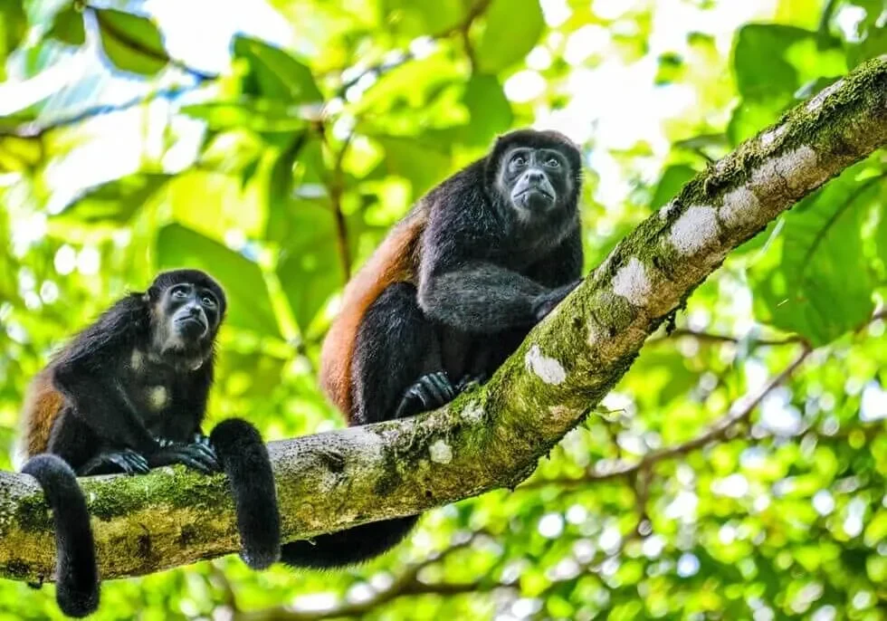
Corcovado National Park
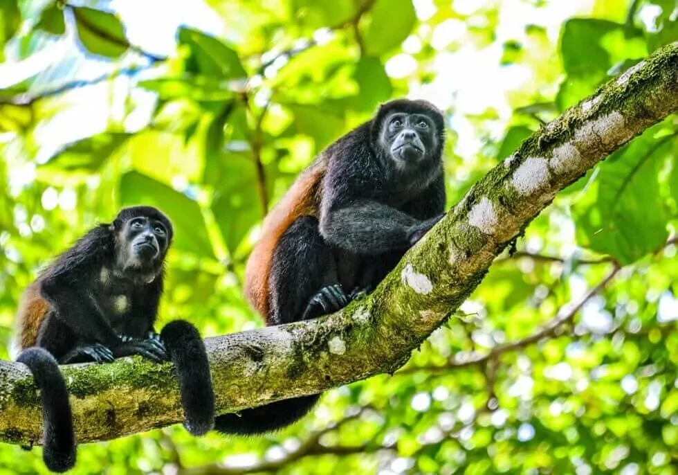
Corcovado National Park, established on October 24, 1975, is located in the southernmost corner of Costa Rica on the Pacific side (the Osa Peninsula). The park comprises 54,039 terrestrial hectares and 2,400 marine hectares. Until 1978, there was little access by land to the Osa Peninsula and the population in the region was scarce. Since that time, the Corcovado National Park has been destined exclusively for conservation, scientific investigation, environmental education, and ecotourism. National Geographic magazine has deemed Corcovado National Park as "the most biologically intense place on Earth in terms of biodiversity".
Corcovado Park exists within one of the rainiest regions in the country, with records of up to 5,500 mm of rainfall per year on the highest peaks. Famous for being the "Amazon of Costa Rica", the Corcovado National Park is the largest stronghold of primary forest on a Pacific coastline, and is famous for holding 5% of the biodiversity on this side of the planet. Corcovado is considered by many the most important park in Costa Rica's extensive national parks system. The park is very popular with tropical ecologist, eco-tourists, and generally outdoorsy people alike who all share a love the abundance of plant and wildlife. This park offers five ranger stations which handle several services such as tent campsites, food, helicopter services in emergencies and general information.
This park is ideal for those who love the great outdoors, are interested in seeing the natural flora and fauna of the region, and want to get away from it all and kick back in the jungle and/or on pristine untouched beaches. There are several hiking trails throughout the park, many of which that can take several hours to travel, taking visitors to into the deserted and pristine rainforest wilderness, and showing them spectacular displays of nature. The area holds thousands of species of flora and fauna, many unique to the area, and others which have disappeared from other regions or are in danger of extinction.
Caño Island Biological Reserve
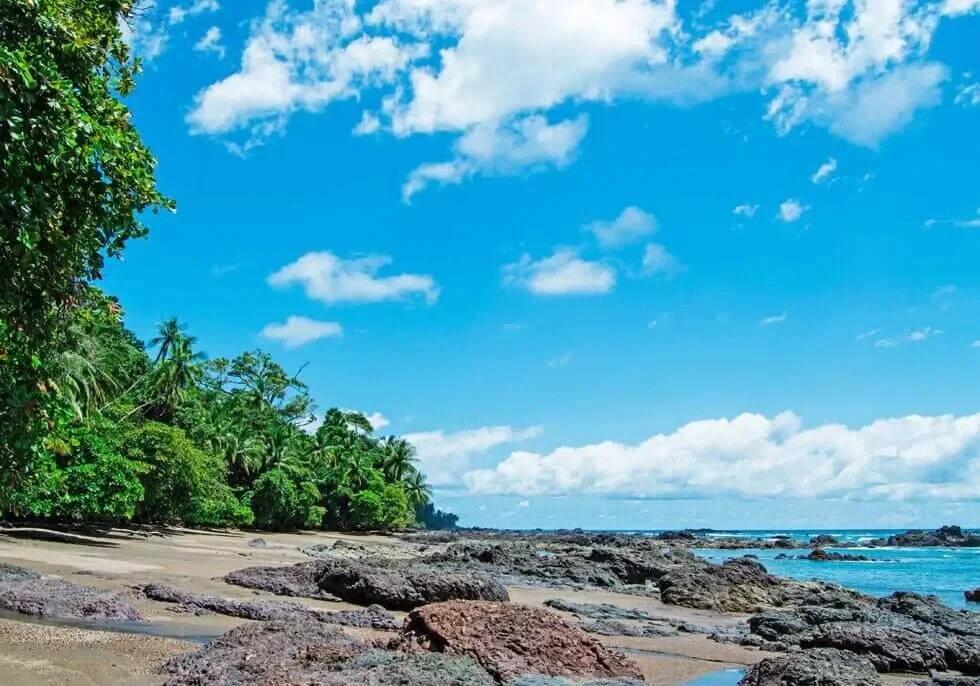
Caño Island is an island and biological reserve located about 17 km west of Drake Bay in Corcovado National Park. It is easily accessed via boat from Bahia Ballena - about 75-minute boat ride. This reserve is everything you could expect from a gorgeous and near-deserted island in the Pacific Ocean: it's pristine, colorful, and full of life. Caño Island was designated as a Biological Reserve in 1978 to preserve its important marine ecosystem, indigenous cultural history, and natural beauty. It is widely believed that the island was used as a cemetery in pre-Columbian times as pottery, carved stone artifacts, and the region's infamous stone spheres have been found there in excavations.
Caño Island became a Biological Reserve in 1978, helping to preserve an important part of the natural and indigenous history of Costa Rica. The Island lies 17 km due west of Marenco on the Pacific Ocean, in front of the Corcovado National Park on the Osa Peninsula.
During pre-colombian times this place used to be an indigenous cemetery. Excavations have revealed rests of pottery, carved stone artifacts, and the stone spheres typical to the Osa Peninsula area.
It features tropical rain forest and its vegetation is varied, presenting very high trees and evergreen flora. The island’s forest and its inhabitants are in stark contrast to those on the mainland of Corcovado National Park, less than 11 miles away.
Marine life is also abundant in the general outliers of the island. Manta rays are often seen breaching, dolphins are encountered daily, and Olive Ridley sea turtles are commonly observed swimming and even mating as they travel to and from the sandy beaches of the peninsula where they lay their eggs. Also spotted are the white tipped reef sharks, silky sharks, bull sharks and occasionally whales sharks and humpback whales, which are seen during their annual migrations from July and October, and again in December through March.
Caño Island is known as one of Costa Rica's best places to snorkel and dive due to its vibrant coral reef and resulting ecosystem. If you snorkel or dive here, you are likely to see many animals including tangs, jacks and needlefish, boring sponges, diadema sea urchins, sea cucumbers, crustaceans, parrotfish, puffers, damselfish, large schools of barracudas, tunas, and moray eels. This reserve is most commonly the destination of a day boat trip from Bahia Ballena, lodges in Drake Bay, Dominical, and Manuel Antonio. On the trip over you are very likely to see Manta Rays, dolphins, Olive Ridley sea turtles, white-tipped reef sharks, silky sharks, bull sharks, and occasionally even whale sharks and humpback whales.
Terraba Sierpe Mangroves
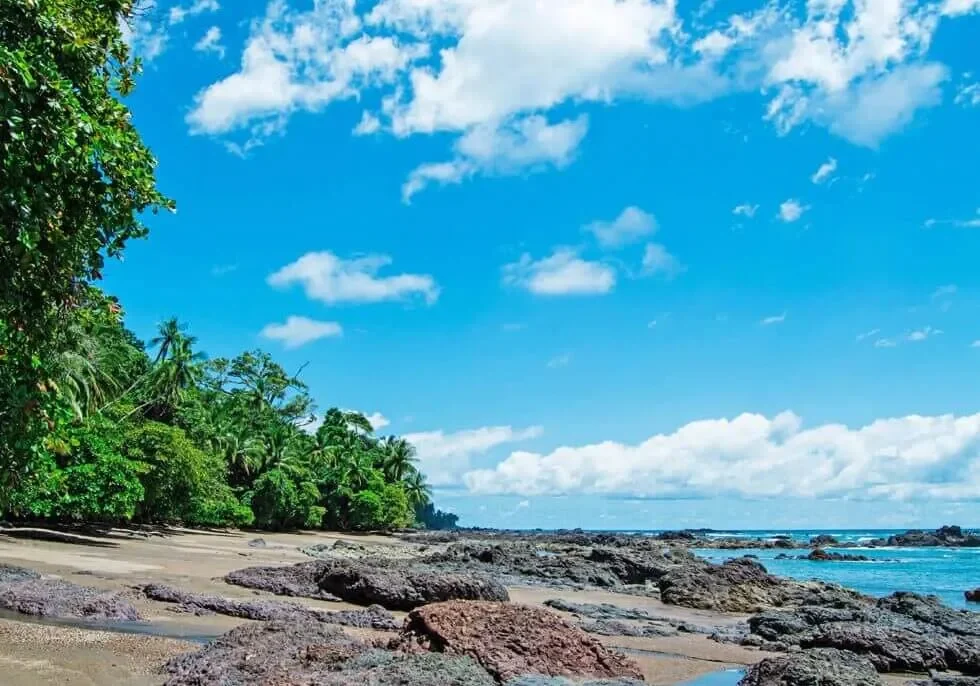
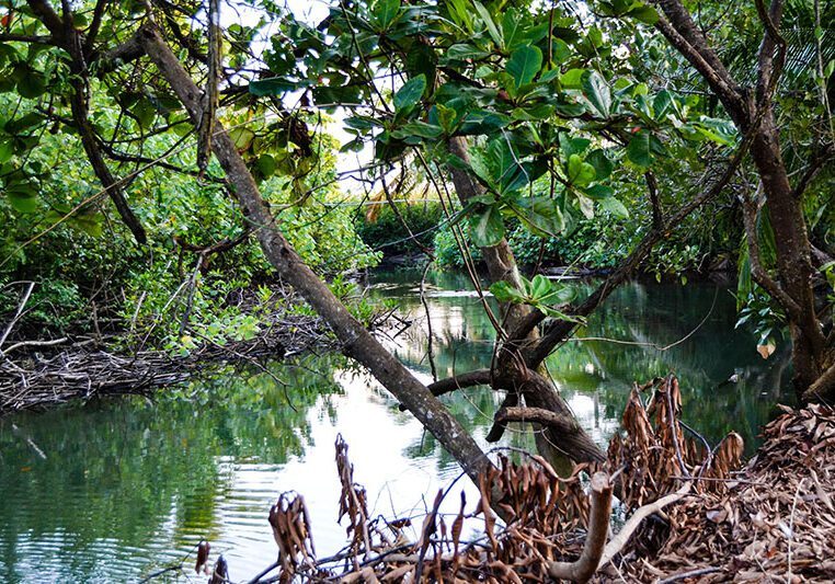
The Terraba Sierpe Mangroves, located just a 45-minute drive south of Bahia Ballena is a 30,000+ hectare wetland Forest Reserve that has vast biological importance to the entire Pacific Coast of Costa Rica. It was given the Forest Reserve designation in 1977 and was registered as a Wetlands International RAMSAR site in 1995, and this site is managed by the Ministry for the Environment, Energy, and Oceans (MINAE). The Terraba Sierpe region is known as a prime birding location, and features many tours to view its incredible biodiversity and fantastic natural beauty. The reserve consists of a woodland ecosystem of swamps, mangrove forests, palm swamp forests, sandy beaches, rivers, and lagoons, and like all wetland regions, it plays an important role in being a base for the rest of the life that surrounds it.
Mangrove roots are vital to protection of the coastline from to storms, rising sea levels, and the prevention of coastal erosion. Due to the strong, densely interlocked structure that mangrove forests form, they work as a buffer for the coast and collect sand, helping to stabilize the shoreline. They are better than any human-made structure that tries to hold back the powerful sea and for their direct and indirect benefits, the services that they provide have them valued in the billions globally.
Scientists argue that one of the reasons that Hurricane Katrina was so devastating to New Orleans, Louisiana ten years ago was due to the loss of the natural barriers formed by the coastal wetlands, 1.2 million acres of which had been lost between 1930 and 2005. In Southeast Asia, many argue that thousands of lives were saved in areas where the mangrove forest remained intact, whereas thousands died where it had been felled to make way for development.
Mangroves are also very important in the battle against climate change, the very issue that is contributing to rising sea levels and massive superstorms. New research suggests that these amazing trees may be the most effective carbon sinks in the natural world, with the capacity to absorb about a hundred pounds per acre per day, raising their perceived.
There are several boat tours that go to the Terraba Sierpe Mangroves, primarily those leaving from the Costa Ballena area or coming up from the Osa Peninsula. Tours through this wetland will focus on seeing the sights, flora, and fauna of this biologically important area. There are also kayaking tours if you would like to have a more peaceful and lower-impact trek through this area.
Why Choose Us
When it comes to surf and yoga tourism, Bodhi Surf + Yoga is in a class of its own.
Get to know us to find out what sets us apart.


